


-
Union related
Union Contacts
Geographical and Economic
Miscellaneous
-
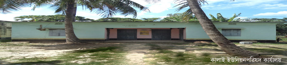
Union Council
Union Council
Union Parishad Activities
village court
Important information
-
Government office
Agriculture
Land
Health Services
Social Service
-
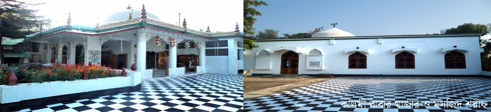
Other institutions
Organization
-
Different lists
List of beneficiaries
Other lists
- Projects
-
Services
UDC
National e-service
-
Gallery
---------------
-
Union related
Union Contacts
Geographical and Economic
Miscellaneous
-
Union Council
Union Council
Union Parishad Activities
village court
Important information
-
Government office
Agriculture
Land
Health Services
Social Service
-
Other institutions
Educational Institutions
Organization
-
Different lists
List of beneficiaries
Other lists
- Projects
-
Services
UDC
National e-service
-
Gallery
---------------
Kalai Union at a glance
General information
District
Bogra
Upazila
Kahalu
Boundaries
Majhihat of Shibganj in the north, Narhat in the south, Paikar union in the east and Birkedar union in the west.
Distance from Upazila Sadar
Km
Volume
5194 acres
Total population
20,972 (Census 2012)
Men
10,431 (Census-2012)
Female
10,531 (Census-2012)
Total number of voters
13,64
Men
6,698
Female
6.06
Electoral area
Kahalu-Nandigram, Bogra-4
Total number of households (cells)
5,514
Number of villages
30
Number of mouzas
6
Secondary school
3
Elementary school
6
College
No
Madrasa
3
The orphanage is official
No
The orphanage is unofficial
No
Mosque
41
Temple
16
Rivers
1
Hat-bazaar
2
Bank
Insurance
1
Post Office / Sub Post Office
2
Telephone exchange
No
Railway station
No
Small cottage industry
246
Large scale industry


Planning and Implementation: Cabinet Division, A2I, BCC, DoICT and BASIS
Technical Assistance:
![]()
Developed By: